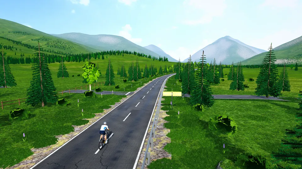
Tourmalet stage
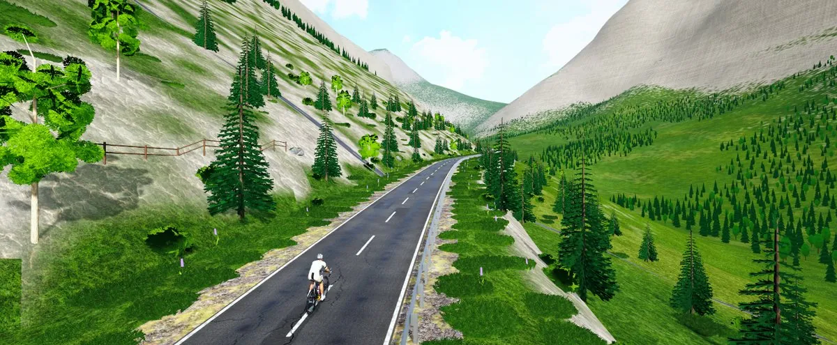
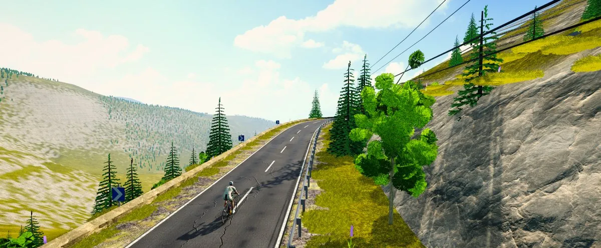
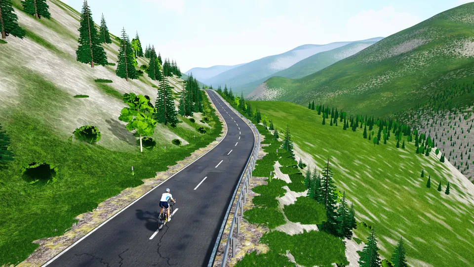
From Lourdes up the valley to the top of the Tourmalet. Traced from the real road (OpenStreetMap) and the real relief (public elevation data): every bend and every percent is where it should be.
- Distance
- 48.6 km
- Climbing
- 2,052 m
- Steepest km
- 11.4%
- Highest point
- 2,113 m
- Type
- Hilly
Tourmalet stage, a hilly route.
48.6 km, 2,052 m of climbing, 4.2% on average, the steepest kilometre at 11.4%.
How to ride it
A 48.6 km route that rides fast: speed comes from the draft. Stay on other riders’ wheels, take your turn, and keep an attack for the end.
- Open FORGE Ride, on your Windows PC or in the browser from the app.
- Connect your trainer or your sensor (CONNECT on the home screen).
- RIDE, the Europe tab, then Tourmalet stage.
- Signed in? Other riders on Tourmalet stage ride with you, live.
- 2 W/kg3 h 37
- 3 W/kg2 h 36
- 4 W/kg2 h 05
An estimate from the game’s physics: a 75 kg rider on a road bike, riding steady, without draft. On a smart trainer in SIM mode, the game measures your real time.
Before you ride.
Can I ride Tourmalet stage for free?
Yes. Tourmalet stage is one of FORGE Ride’s 51 routes, and the game is free, on a Windows PC or in the browser.
What do I need to ride Tourmalet stage?
A bike on an indoor trainer. With a Bluetooth smart trainer, the resistance follows the slope of the road. A speed or cadence sensor is also enough to ride, with an estimated power.
Is Tourmalet stage the real road?
Traced from the real road (OpenStreetMap) and the real relief (public elevation data): every bend and every percent is where it should be.