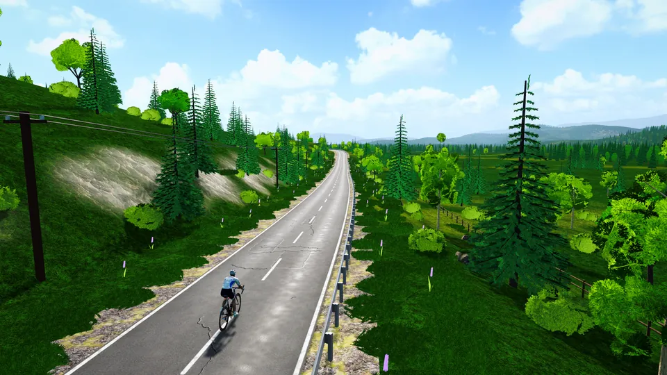
Mont-Tremblant
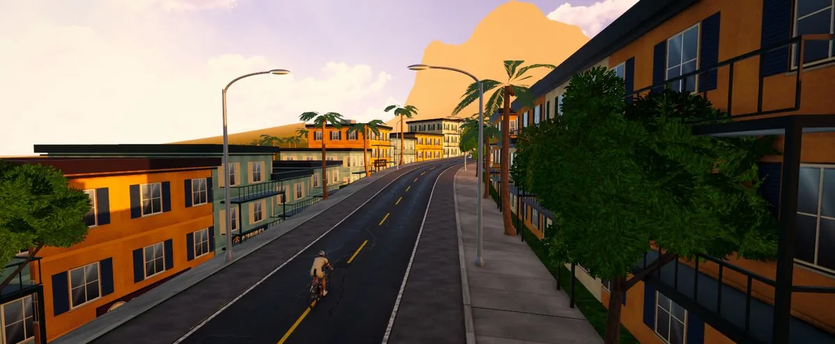
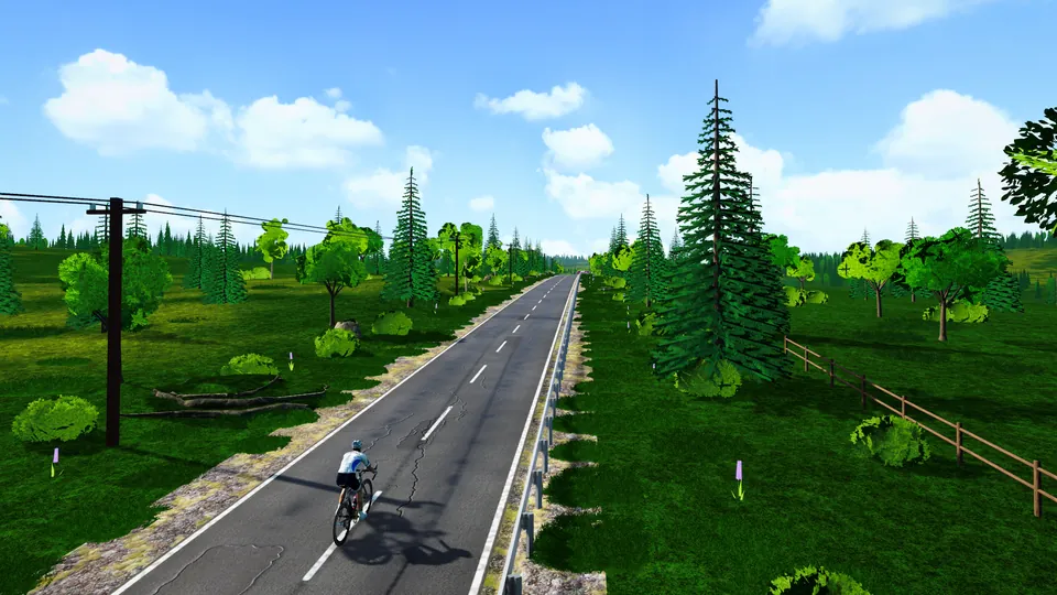
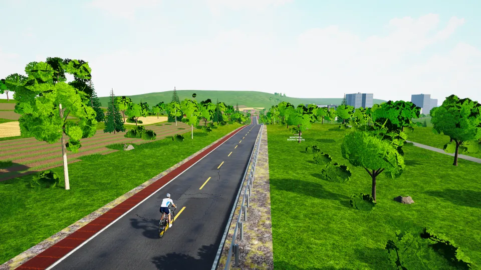
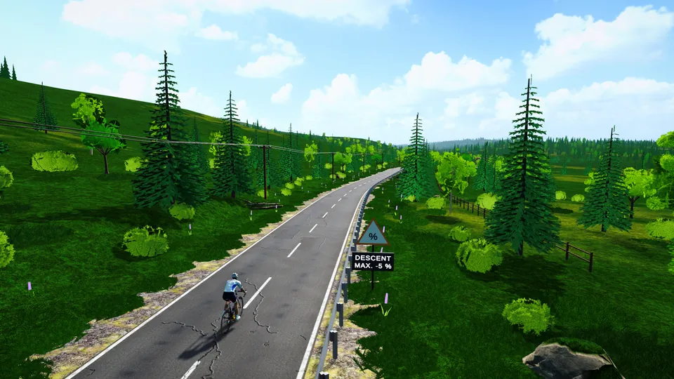
From Saint-Jovite to the foot of the slopes, by the montée Ryan. Traced from the real road (OpenStreetMap) and the real relief (public elevation data): every bend and every percent is where it should be.
- Distance
- 18.7 km
- Climbing
- 257 m
- Steepest km
- 8%
- Highest point
- 343 m
- Type
- Flat and fast
Mont-Tremblant, a flat, fast route.
18.7 km, 257 m of climbing, 1.4% on average, the steepest kilometre at 8%.
How to ride it
A 18.7 km route that rides fast: speed comes from the draft. Stay on other riders’ wheels, take your turn, and keep an attack for the end.
- Open FORGE Ride, on your Windows PC or in the browser from the app.
- Connect your trainer or your sensor (CONNECT on the home screen).
- RIDE, the Americas tab, then Mont-Tremblant.
- Signed in? Other riders on Mont-Tremblant ride with you, live.
- 2 W/kg47 min
- 3 W/kg37 min
- 4 W/kg32 min
An estimate from the game’s physics: a 75 kg rider on a road bike, riding steady, without draft. On a smart trainer in SIM mode, the game measures your real time.
Before you ride.
Can I ride Mont-Tremblant for free?
Yes. Mont-Tremblant is one of FORGE Ride’s 51 routes, and the game is free, on a Windows PC or in the browser.
What do I need to ride Mont-Tremblant?
A bike on an indoor trainer. With a Bluetooth smart trainer, the resistance follows the slope of the road. A speed or cadence sensor is also enough to ride, with an estimated power.
Is Mont-Tremblant the real road?
Traced from the real road (OpenStreetMap) and the real relief (public elevation data): every bend and every percent is where it should be.